
Rupea Fortress
Cetatea Rupea
Romania · Brașov County, Transylvania · Near Rupea
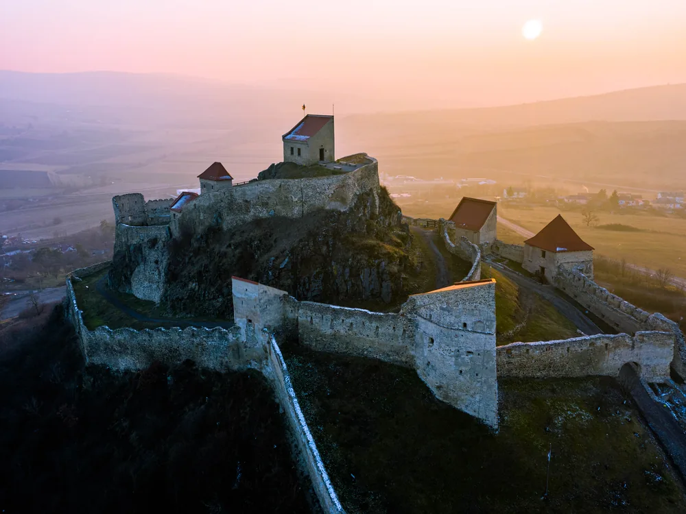
Built 1324 · Multi-period fortification on a basalt rock above the Saxon village of Rupea in the Olt corridor; the site has been occupied since the Bronze Age (Dacian finds from the 2nd–3rd century BC) but the documented medieval fortress begins with the Saxon community's fortification of the basalt outcrop in the 14th century as a collective refuge castle; the lower citadel, middle citadel, and upper citadel are three distinct defensive levels ascending the rock, built across several centuries as the fortification was expanded in response to Ottoman incursion threat; the lower citadel contains a water cistern carved from the basalt bedrock — an engineering feature that would have sustained a siege population for weeks; substantially ruined by the 18th century; subject to a major EU-funded restoration (2010–2013) costing approximately €4.5 million; reopened in 2013 and has seen visitor numbers increase dramatically since; the basalt rock position — a natural defensive monad rising from the flat Olt valley floor — is the fortress's defining geographical feature
This page is part of an independent travel guide and is not affiliated with, endorsed by, or operated by Rupea Fortress.
© Castles & Palaces
Quick Facts
- Hours
- Daily 09:00–19:00
- Guided tour from
- €105
- Duration
- 1–1.5 hours
- Best time
- May to October
- Nearest city
- Rupea
Featured Tour
Brașov: Șinca Veche Cave Monastery & Rupea Fortress Guided Tour
Cancellation available · Instant confirmation
Highlights
- ✦Rupea Fortress occupies a basalt rock — a remnant of volcanic activity — rising sharply from the flat Olt valley floor; the rock is not a hill gradually ascending from the surrounding landscape but a near-vertical intrusion, and the three levels of medieval fortification (lower, middle, and upper citadel) climb the rock in stages, making the ascent as dramatic as the view from the top
- ✦The cistern in the lower citadel — carved directly into the basalt bedrock, capable of holding enough water to sustain a siege population for weeks — is an engineering feature that reveals the serious military planning behind what might otherwise appear to be a typical Saxon hilltop refuge; the ability to hold water independently of external supply transformed a refuge into a genuine siege-capable fortification
- ✦The EU-funded restoration of 2010–2013 (approximately €4.5 million, primarily from European Regional Development Fund grants) transformed Rupea from a deteriorating ruin to a well-maintained heritage site; visitor numbers have grown substantially since the 2013 reopening, making it one of the better-served fortifications in the Transylvanian Saxon village circuit
- ✦The Dacian presence on the basalt rock before the medieval fortress — documented from the 2nd–3rd century BC, with finds indicating a Bronze Age population using the rock as a defensive position — gives Rupea a 2,000-year span of defensive occupation on the same site; the Romans also knew this position, recorded as Rumidava in ancient sources
- ✦The Olt valley corridor that Rupea commands — the route connecting Brașov with the interior of Transylvania, flanked by forested hills on both sides — was one of the most significant geographic corridors in medieval Transylvania; the fortress's visibility along the valley in both directions made it a key early-warning position for the Saxon communities downstream at Brașov
Skip the queue with a guided tour
Skip-the-line tickets & expert guides
Rupea Fortress stands on a basalt rock above the town of Rupea in Brașov County, Transylvania, at the point where the Olt valley corridor narrows between forested hills as it runs northwest from Brașov toward the interior of Transylvania. The basalt rock is a geographical anomaly — a remnant of volcanic activity, rising sharply from the relatively flat valley floor with near-vertical sides — and it has been recognised as a defensive asset for as long as people have lived in the Olt valley. The Dacian population that occupied the rock in the 2nd and 3rd centuries BC (the site is recorded in Roman sources as Rumidava) understood the same tactical advantage that the medieval Saxon community would exploit a millennium later: height, visibility, and vertical rock faces that made assault difficult.
The medieval fortification began in the 14th century, when the Saxon community of Rupea and the surrounding villages fortified the basalt rock as a collective refuge against the Ottoman incursion threat. The Saxon communities of Transylvania — German-speaking colonists who had been invited to settle the region by the Hungarian kings from the 12th century onward, as agricultural settlers and defensive border populations — developed a network of fortified churches and hilltop castles through the 14th and 15th centuries as the Ottoman pressure on Hungary's southeastern frontier intensified. Rupea was one of several such fortifications in the Brașov county area, occupying a position in the Olt valley that controlled the approach corridor to Brașov from the northwest.
The fortress as visitors encounter it today represents multiple centuries of construction. The lower citadel, with its carved basalt cistern and defensive walls, was built first and provided the basic refuge facility. The middle and upper citadels were added in stages as the community expanded the fortification upward along the rock face, each level providing a fallback position if the one below was breached. The cistern in the lower citadel is the fortress's most practically significant engineering feature: cut directly into the basalt bedrock, it collected rainwater and could sustain a besieged population for weeks without external water supply, converting a refuge into a genuinely siege-capable fortification rather than simply a place to retreat from open-field attack.
The Ottoman threat that motivated the fortress's construction was realised in the 15th and 16th centuries, when multiple Ottoman raids penetrated into Transylvania. The Saxons of the Olt valley used Rupea and the surrounding fortified churches as collective refuges during these incursions, withdrawing with their portable wealth and livestock while the attackers burned the villages below. The defensive logic was sound: the Ottomans' strategic objective was raiding and extraction, not prolonged siege warfare, and fortifications capable of holding a refuge population for several weeks were generally sufficient to outlast an Ottoman raid.
As the Ottoman threat receded in the late 17th century following the Habsburg reconquest of Hungary and Transylvania, the military function of Rupea Fortress became redundant. The fortress was used intermittently as an administrative centre and prison but was substantially ruined by the 18th century, entering the long decline that left it as a picturesque ruin visible above the town until the late 20th century.
The EU-funded restoration of 2010–2013 changed this. The project, funded primarily through European Regional Development Fund grants with Romanian state co-financing, invested approximately €4.5 million in structural consolidation, access path improvements, visitor infrastructure, and the restoration of selected architectural elements. The restoration was comprehensive rather than minimal — the fortress that reopened in 2013 is maintained, lit for evening visits in summer, and equipped with the visitor infrastructure (ticket office, information panels, path signage) that makes it accessible to a general audience rather than only specialist visitors willing to navigate a deteriorating ruin.
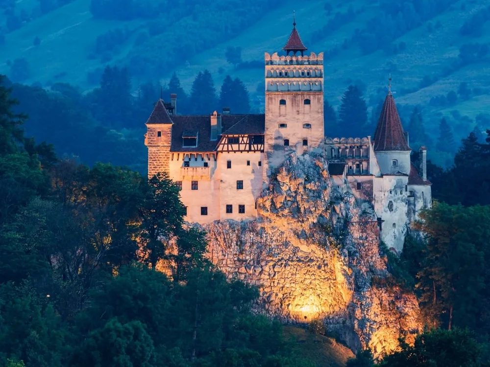
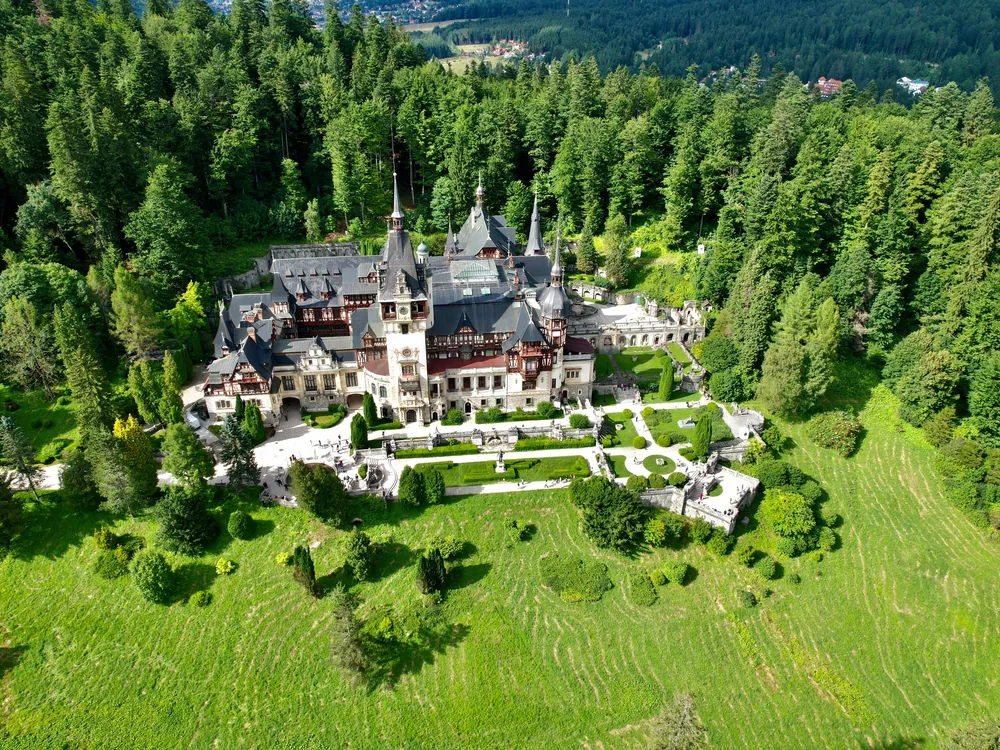
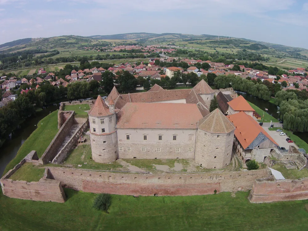
The result has been a substantial increase in visitor numbers: Rupea is now one of the more visited sites in the Brașov county heritage circuit, which includes [Bran Castle](/castles/romania/bran-castle), [Peleș Castle](/castles/romania/peles-castle), [Fagaraș Fortress](/castles/romania/fagaras-fortress), and [Alba Iulia Citadel](/castles/romania/alba-iulia-citadel). The Saxon Villages circuit — Viscri, Crit, Saschiz, and the surrounding UNESCO-protected village landscapes — passes through the Olt valley and makes Rupea a logical stopping point for travellers exploring the Saxon heritage of Transylvania.
The GetYourGuide Saxon Villages Day Tour combines Rupea with Viscri, Crit, and Saschiz in a full day focused on the Saxon village heritage of the Brașov county area — an itinerary that sets Rupea within the broader Saxon community context rather than treating it as an isolated fortress visit.
History
Dacian populations occupied the basalt rock at Rupea in the 2nd and 3rd centuries BC — Roman sources recorded the site as Rumidava. The medieval phase began when the Saxon community that settled the Olt valley corridor started fortifying the rock as a collective refuge against the raid-based warfare that characterised the region from the 13th century onward. The first documented reference to the fortress appears in 1324. Through the 14th to 16th centuries the fortress expanded through lower, middle, and upper citadel circuits built into the natural terracing of the basalt rock, serving primarily as a refuge during Ottoman raids.
When the Ottoman threat receded in the 17th century, the fortress's military function declined with it. Substantial ruination followed in the 18th century, and the site was used only intermittently as an administrative centre and prison before settling into the long deterioration as a ruin above the town that persisted through the 19th and 20th centuries.
EU-funded restoration of approximately €4.5 million between 2010 and 2013 returned the fortress to accessible, well-maintained condition. It reopened to visitors in 2013 and is now open daily year-round as one of the main sites in the Brașov county heritage circuit.
How to Visit
Getting there: Rupea sits on the DN13 highway between Brașov (50 km southeast, ~50 min) and Sighișoara (55 km northwest, ~50 min) — the same road that threads through the UNESCO Saxon village circuit. By car it is a straightforward stop en route between the two cities. Regular buses on the Brașov–Sighișoara route stop in Rupea town; the basalt rock and fortress walls are visible from the road as you arrive.
Tickets: Walk-up entry 15 RON adult, 5 RON child — paid at the ticket booth at the base of the rock. Open daily, with extended hours to 19:00 in summer (reduced to approximately 17:00 in winter). The GetYourGuide tour is a guided full-day trip from Brașov covering Șinca Veche Cave Monastery and Rupea Fortress with all entrance tickets included — book in advance.
Practical tips: Climb all three citadel levels — lower, middle, and upper — for the best panoramic view of the Olt valley in both directions, which makes the fortress's role as an early-warning position for the Brașov corridor immediately clear. Find the cistern in the lower citadel: carved directly into the basalt bedrock, it was the engineering feature that made a genuine siege defence possible. The Saxon village circuit (Viscri, Crit, Saschiz) is 15–30 km northwest and combines naturally into a single day from Brașov.
Combine with: Făgăraș Fortress (30 km southwest, the best water-moated fortress in Transylvania) and Bran Castle (50 km southeast, the clifftop 14th-century fortress on the edge of Brașov).
Frequently Asked Questions
The cistern is a large water reservoir carved directly into the basalt bedrock of the lower citadel, cut by the Saxon community to collect rainwater. It is the fortress's most practically significant engineering feature: it could sustain a besieged population for weeks without external water supply, which converted Rupea from a passive refuge (somewhere to hide until raiders left) into a genuinely siege-capable fortification. Without the cistern, the fortress would have been vulnerable to anyone patient enough to wait for the water supply to fail.
Location
Cetatea Rupea, 525400 Rupea, Brașov County, Romania
Nearby Castles
Tours & Tickets
Powered by GetYourGuide
From
€105/ person